About the project
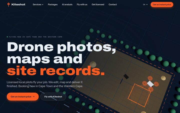
Kiteshot delivers drone photos, maps and site records across Cape Town and the Western Cape. Customers place a pin on a map, trace their site and get an instant price. A licensed, insured local pilot flies the job. Kiteshot’s editors then turn the raw footage into finished photos, video, stitched maps, 3D models and plain-language reports. The finished work is ready within 48 to 72 hours. Services cover recurring site records for construction and estates, property media, land and farm mapping, and roof and grounds surveys. AI analysis of every flight identifies changes, defects and damage. The site also recruits drone owners into a pilot network, which is expanding to the UK and US.
Screenshots
Select a screenshot to view it full size.
More of our work

E-Commerce
NORDflam SA
South African distributor of NORDflam fireplaces, a European sustainable heating brand.

Luxury Hospitality
EILA Seychelles
Self-catering waterfront villas and apartments on Eden Island, Seychelles.

Bridal & Couture
Molteno Couture
Bespoke bridal gowns and couture by Cape Town designer Rose Molteno.
Start a project with CapeFrisco.
We build fast, secure websites, then host and maintain them. Tell us about your project and we will send you a written proposal.